Prefectural Tsukigase-Konosan Natural Park 県立月ヶ瀬神野山自然公園
Good to know before you go
- Admission
- Free (parking requires a ¥300–¥500 maintenance donation)
- Time needed
- 2–4 hours
- Best time to go
- Early May for blooming azaleas across Mount Kono's summit, or mid-February to late March for Tsukigase's plum blossoms
About
Straddling Nara and Kyoto, this sprawling natural park is famed for the scenic Tsukigase plum grove along the Satsuki River and the volcanic peaks of Mount Kono. Visitors can wander through thousands of blooming plum trees in early spring, explore unique rock formations, and hike to the summit for panoramic tea plantation views. It is a peaceful, less-crowded alternative to Nara's central parks.
What Japanese guides note
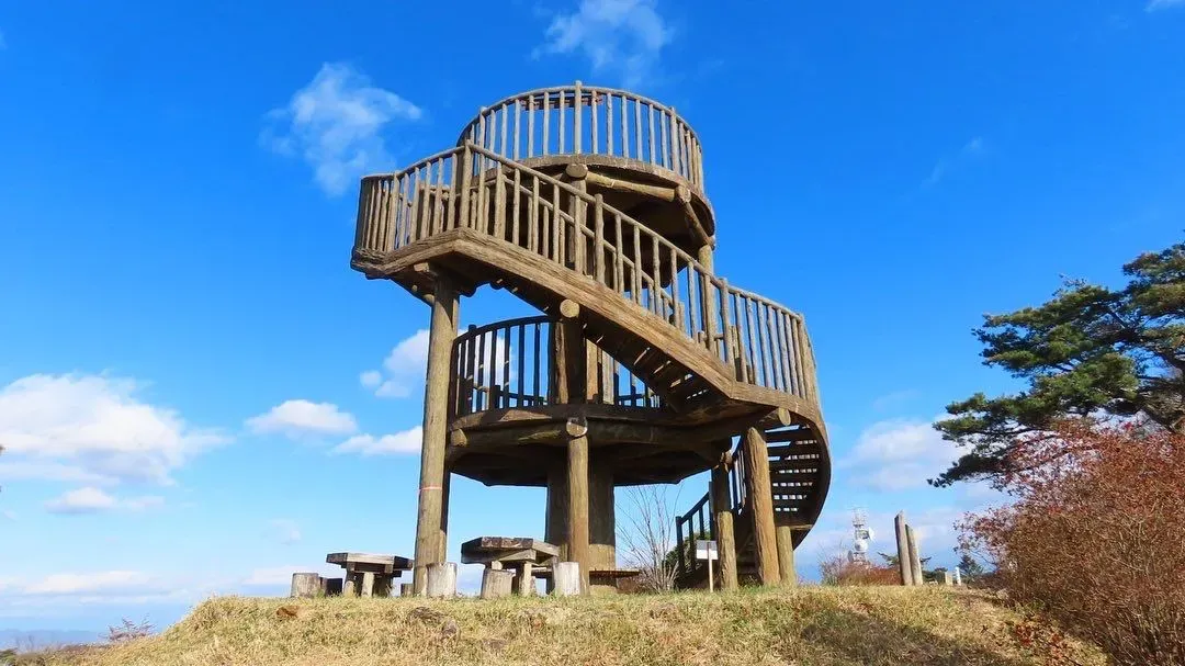
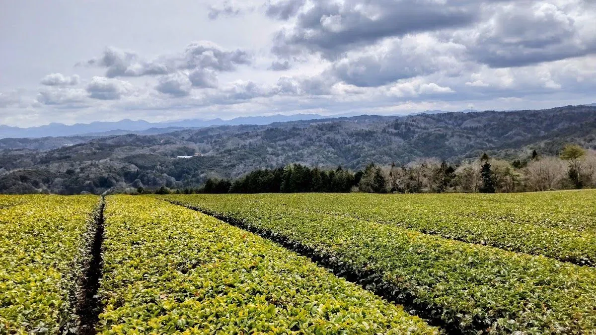
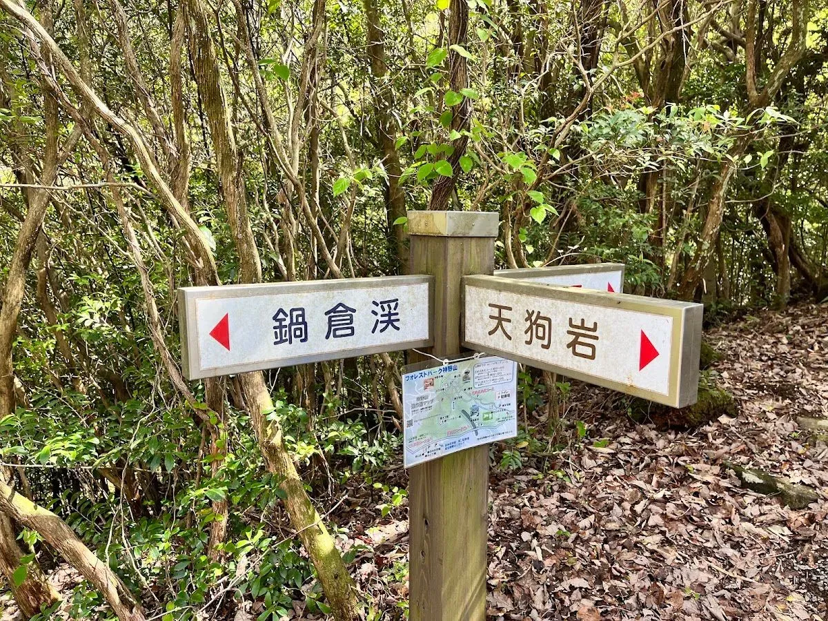
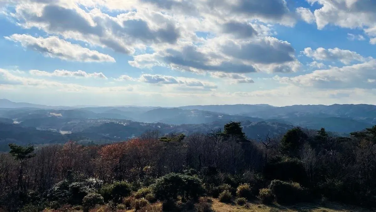
Mount Kono rises to 618.8 meters in Yamabe District, offering 360-degree views across the Yamato Plateau tea fields from its summit observation platform. Japanese hikers typically combine the summit trail with Nabekura Valley, the Forest Science Museum, and the Meme Farm into a 2- to 3-hour circular trek. Public bus connections are infrequent and require a 2.4-kilometer uphill walk from the nearest stop, making personal cars or taxis the standard mode of arrival.
Details from local sources
- Designated on July 1, 1975, Tsukigase-Konosan was the final prefectural natural park established in Nara Prefecture. [source]
- The Nabekura Valley boulder stream on Mount Kono spans an average width of 25 meters and a length of 650 meters, with its hidden subterranean flow recognized among Yamato no Mizu spring waters. [source]
- Mount Kono hosts an annual azalea festival on May 3, followed by evening illumination of the Nabekura Valley rock formation from August 1 to August 20. [source]
- The northern slope of the mountain houses Meme Farm, a free-entry pasture where approximately 60 Corriedale and Suffolk sheep roam. [source]
Insider Tip
Visit in mid-March for the plum blossom festival, and stop by the Forest Science Museum at the base of Mount Kono for local green tea.
Frequently asked
How can visitors reach the park without a car?
Take a Nara Kotsu bus bound for Yamazoe from JR Nara or Kintetsu Nara Station to the Kitano bus stop. From there, walk roughly 2.4 kilometers (30 to 40 minutes) uphill to Forest Park Konoyama. Due to sparse departures, renting a car is strongly recommended.
What is the Nabekura Valley rock formation?
Nabekura Valley is a natural boulder stream formed from weathered hornblende gabbro rocks spanning 650 meters downhill. Underground mountain runoff flows entirely beneath the piled stones, producing an audible gurgling stream that cannot be seen on the surface.
Are there admission or parking fees to enter the park?
General entry to the park trails, Mount Kono summit, and the outdoor sheep paddocks at Meme Farm is free. Drivers parking at the on-site lots are asked to pay an environmental maintenance cooperation fee of ¥300 to ¥500 per vehicle.
When do the azaleas and tea fields look best?
Mount Kono's peak turns crimson with blooming wild azaleas in early May, celebrated during the annual May 3 festival. This timing coincides with the spring emergence of bright green tea shoots across the surrounding plateau plantations.
Our Nara walking tours

On the same walk
Photos